To find a home's likely cadastral parcel, compare the building footprint, plot shape, access and visible exterior features with the cadastral plan and aerial imagery. This can help you check orientation and apparent boundaries, but a public cadastral map does not replace title documents, planning records or a boundary survey.
Quick Answer: Record the roof shape, access, outbuildings, pool and visible plot edges, then find a matching parcel on cadastral and aerial maps. Confirm orientation using the map's north marker rather than shadows alone. Treat every visual match as a candidate until the address and documents agree, and consult a surveyor when a legal boundary affects your decision.
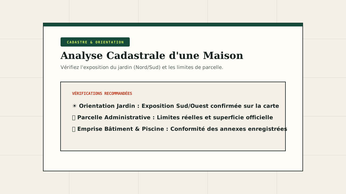
Why check the parcel before viewing a house?
Property photographs are selected to present the home attractively. A wide-angle garden image may make a narrow space look deeper, while trees, framing or the season can hide neighbouring buildings. Leveraging FindAddressNow's coverage of 94 million parcels across 36,000 communes in France, parcel research provides a second perspective before you spend time travelling.
The useful questions are practical rather than conclusive:
- Does the advertised plot size look broadly consistent with the mapped parcel?
- Is the house positioned near a boundary or in the centre of the land?
- Which direction do the main garden and terrace face?
- Is access direct from the road or shared through another parcel?
- Are visible pools, garages and outbuildings in plausible positions?
The answers help prepare a viewing and document request. They do not prove ownership, planning permission, an easement or the exact legal position of a fence.
Which visual clues are most useful for matching a parcel?
| Listing clue | Map feature to compare | Limitation to remember |
|---|---|---|
| Main roof footprint | Building outline and orientation | Extensions may be missing or simplified |
| Plot proportions | Width, depth and corners | A sale may include several parcels |
| Driveway and gate | Connection to the public road | Access rights may not be visible |
| Pool | Shape and position on aerial imagery | Visibility does not prove authorisation |
| Garage or outbuilding | Separate mapped or visible structure | Small structures may not appear |
| Trees and hedges | Relative position around the plot | Vegetation changes over time |
Use a combination rather than one distinctive object. Pools and L-shaped roofs are common, and aerial images may have been captured years apart from the listing photographs.
How can you identify a likely parcel step by step?
1. Define the search area
Start with the municipality, postcode, neighbourhood clues and any road or landmark in the listing. Do not scan the entire municipality without a boundary; a broad search encourages false matches.
2. Sketch the building and land
Note whether the house is rectangular, L-shaped or attached, where the garage sits and how vehicles enter. Record the relative position of the terrace, pool and neighbouring structures. A simple sketch makes comparison more consistent.
3. Compare cadastral parcel shapes
Open the French cadastral map or another appropriate map and review candidate plots. Check the road frontage, plot proportions and building footprint. Keep several candidates if the development contains repeated house designs.
4. Add aerial imagery
Compare roof colour, tree groups, driveways, pools and outbuildings. Check the imagery date where available. A mismatch may reflect later construction, but it should reduce confidence until another source explains it.
5. Verify the address and parcel reference
Once a candidate is strong, compare the street and number with the listing and ask the seller or agent to confirm the location. Request the complete cadastral references and documents relevant to the sale.
How should you assess garden orientation?
Use the north arrow on a map to establish the direction of each facade and garden area. Then identify which rooms or terrace are said to face that space. “South-facing” in marketing text may refer to one opening rather than the whole garden.
Photograph shadows provide weak supporting evidence unless the capture date and time are known. Seasonal sun height, neighbouring roofs and trees can radically alter the result. Use a sun-path tool as an illustration, not a guarantee, and inspect the property at a time that matters to your intended use.
Consider more than the compass point. A north-facing garden with open surroundings can receive useful light, while a nominally south-facing terrace can sit behind a tall building or dense evergreen trees. Slope, wall height and the depth of the garden all affect experience.
Which parcel and garden traps should you avoid?
A hedge or fence may not coincide with the legal boundary. The cadastral plan also has a primarily tax-related purpose and is not a boundary survey. If a boundary affects an extension, access or purchase decision, request existing survey documents and consult an appropriate French surveyor.
Check whether the advertised land comprises more than one parcel. A driveway, detached garden or shared access may have a separate reference. Ask what is included in the sale instead of assuming every adjacent area belongs to the house.
Do not infer planning compliance from the appearance of a pool or outbuilding on a map. Request permissions and declarations from the seller and verify important points with the competent local authority or adviser.
How can FindAddressNow narrow the cadastral search?
If the property page comes from a supported portal, start an address and coordinate search with FindAddressNow. Use the result to open the relevant street and cadastral sector, then perform the parcel comparison yourself.
Read how the product works and review the current pricing and credits before submitting a link. The service should not be described as providing a boundary survey, title check or automatic planning approval review.
The existing guide to using the cadastre to find a property address provides more detail on section and parcel references. You can also review the supported property portals before starting an address search.
If photographs are your starting point, use the guide to finding a house from property listing photos. The overview of tools for finding a location from a photo then helps you choose between metadata, visual search, reverse image search, and AI estimates without treating a lead as proof.
What should you confirm during the viewing?
Bring the parcel sketch and test what the maps could not show. Walk the accessible boundaries with the seller or agent, identify the practical access, note retaining walls and ask which outdoor areas are included. Check the sunlight at the time of the visit without assuming it represents every season.
Ask for the cadastral references, title information relevant to the land, existing boundary plans and permissions for visible structures. If the answer is uncertain, record it as a follow-up item for the notary or relevant professional rather than resolving it from imagery.
Frequently asked questions
Does the cadastral map prove the legal boundary?
No. It is useful for locating and comparing parcels but does not replace a boundary survey. Seek appropriate advice when the exact line matters.
Can a map show whether a pool is authorised?
No. A visible or mapped pool does not establish its planning or tax status. Ask for the documents and verify them through the relevant channel.
Is the advertised plot area always one parcel?
No. It may involve adjoining references, a shared access or separate land. Request the full list of parcels included in the sale.
Can shadows prove that a garden faces south?
Not reliably without a known date and time. Use the map orientation first, then account for buildings, trees, slope and seasonal conditions.
Does FindAddressNow identify the cadastral boundary?
No. It searches for an address and coordinates from a compatible listing link. Open the cadastral sources separately and obtain professional help for legal boundaries.
How should you validate cadastral parcel data before booking a property viewing?
To ensure land boundaries and environmental compliance meet professional standards, execute this 4-point due diligence audit:
- Audit land area on cadastre.gouv.fr: Compare official administrative cadastral land area against the plot size claimed in the listing.
- Review municipal urban planning records: Verify local PLU zoning, land buildability ratios (CES), and municipal filings for swimming pools or building extensions.
- Inspect soil hazard and flood risks on Géorisques: Audit property exposure to clay shrink-swell hazards, flooding, and coastal erosion risks.
- Request an official boundary survey (bornage): Do not rely on existing physical fences; insist on boundary survey documentation produced by a certified land surveyor (géomètre-expert).
Already have a listing?
Find an address